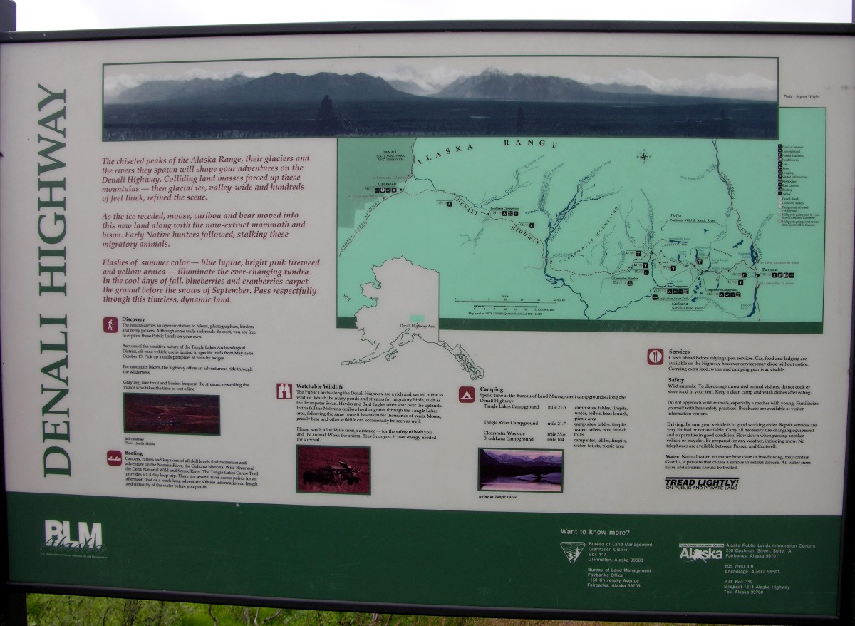
Our main reason for making the side trip to Fielding Lake was to drive the Denali Highway which intersects the Richardson Highway at milepost 185. Most of the highway is gravel and people take it for wildlife and scenery. In September the hunters come. Our campground was a milepost 200 so we turned onto the Denali Highway 15 miles south. Here is a large sign about the highway:
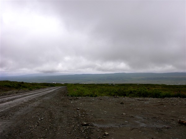
The further we drove west the worst the weather got. At McLaren Pass, the second highest pass in Alaska, we stopped since it was looking really bad to the west:
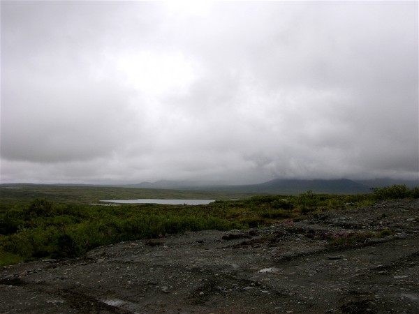
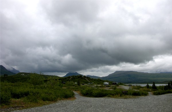
We turned around and drove east and the weather eventually went to mostly cloudy, but little rain and the clouds were higher. Here is one of the Tangle Lakes from the rest area:
We had our picnic lunch at the rest area.
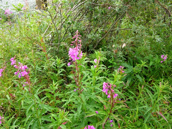
The fireweed is just about to finish blooming:
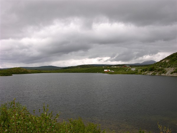
Tangle Lakes BLM campground, another choice if Fielding Lake is full:
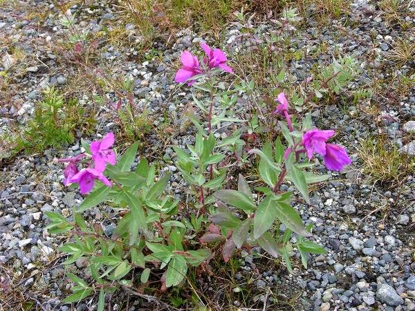
Dwarf fireweed:
We saw a bull caribou and got some pictures:
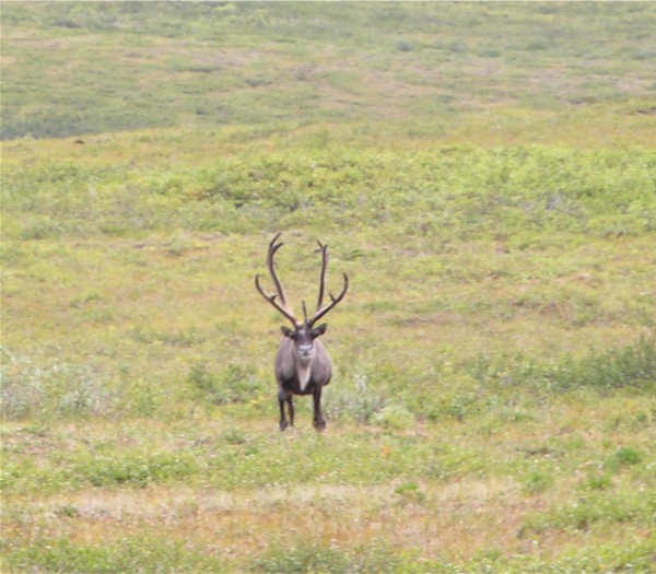
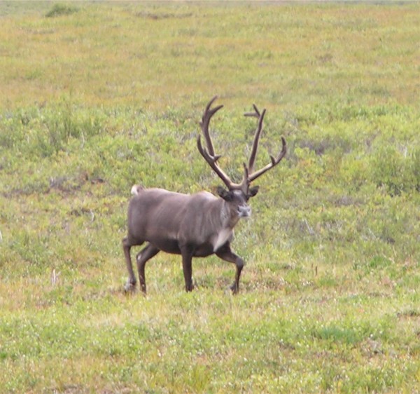
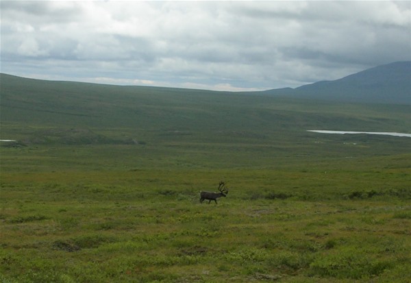
It was a thrill to see the caribou, that was one of the animals we hoped to see this day.
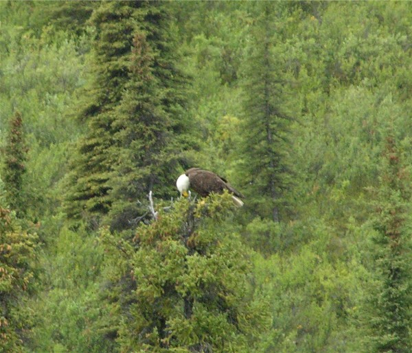
Since we had time we drove south on the Richardson Highway to Meier's Lake and turned around. On the north end of the lake we saw this very large bald eagle:
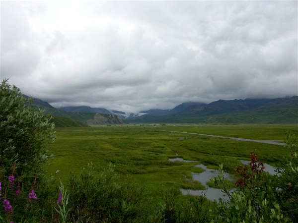
The clouds and fog were higher on the way north than on the way south so we were able to see more scenery.
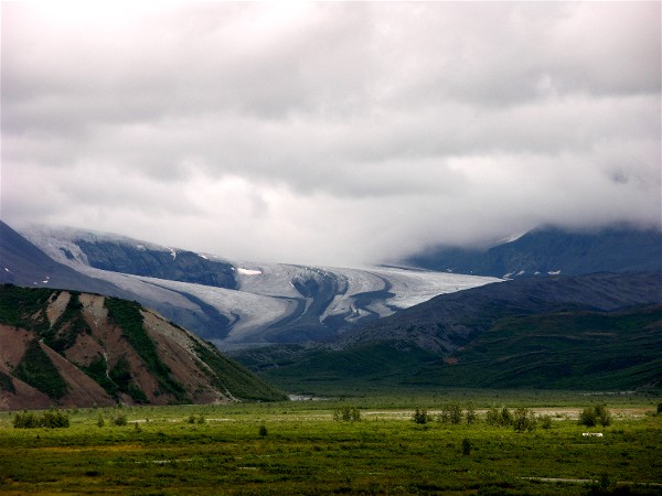
There is a monument to Wilds Richardson in front of the Gulkana Glacier. Wilds Richardson was the man the highway was named for. We love that first name, especially for a pioneer in Alaska.
The Gulkana Glacier in the distance:
A telephoto shot of the glacier
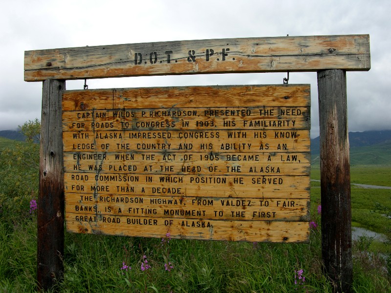
About Captain Wilds P. Richardson:
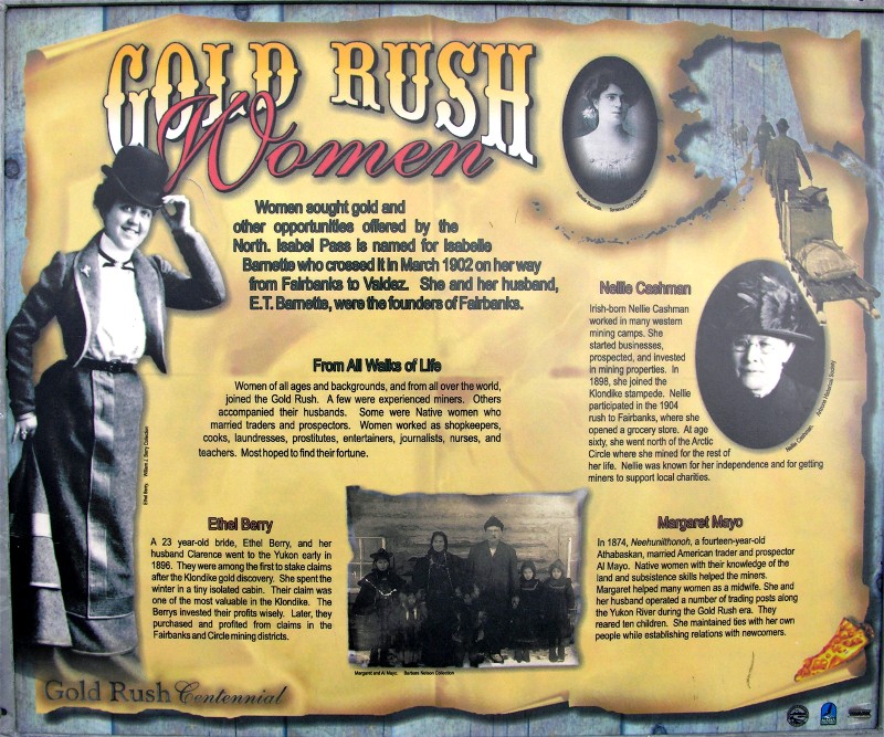
There was also this informational sign on Gold Rush Women which was quite interesting:
Back to 2006 Back to Fairbanks to Haines Junction Adventures